LiDAR vs Photogrammetry vs Survey: Which Method Do You Need?
February 4, 2026
Four data sources dominate terrain capture for engineering work: global satellite DEMs, drone photogrammetry, drone LiDAR, and traditional ground survey. Each has a defined accuracy class, a defined cost class, and a clear set of projects where it's the right answer. This post puts numbers on each — pulled from manufacturer datasheets, federal data program specs, and accepted survey standards — and ends with a decision matrix.
Satellite DEMs — free, regional-scale only
The major free global elevation datasets are NASA's SRTM and ESA's Copernicus GLO-30.
NASA's Shuttle Radar Topography Mission (SRTM) produced a global DEM at 1 arc-second (~30 m) resolution from data collected in February 2000. Vertical accuracy is on the order of 6–10 m RMSE depending on terrain. SRTM is a radar product — it captures the top of whatever is on the surface, not the bare earth.
ESA's Copernicus GLO-30 DEM is a more recent global product (TanDEM-X data, 2011–2015) at 30 m horizontal resolution. Its published global vertical RMSE is 1.68 m, with horizontal accuracy under 6 m at 90% CE and vertical under 4 m at 90% LE. Like SRTM, it's a Digital Surface Model — it includes canopy and buildings.
Use case: regional watershed delineation, early-stage feasibility screening, country-scale studies. Not suitable for engineering design, structure placement, drainage design, or any work where you need to know elevation to better than a meter or two.
USGS 3DEP — the free LiDAR baseline
Before paying for any new airborne acquisition, check the USGS 3D Elevation Program (3DEP). As of FY2024 it has reached 98.3% national coverage at Quality Level 2 (QL2) or better. QL2 means 10 cm RMSEz vertical accuracy and 2 points per square meter point density.
For many projects, 3DEP is sufficient on its own. It's free, nationally available, and meets the accuracy class that engineering hydrology has traditionally been built on. The reasons to spend money beyond 3DEP are specific: the watershed has changed since the last collection, you need point density above 2 pts/m², or you need RMSEz tighter than 10 cm.
Drone photogrammetry — high-resolution, no canopy
Photogrammetry uses overlapping aerial photos and Structure-from-Motion (SfM) algorithms to reconstruct a 3D surface. The output is a dense point cloud, an orthomosaic, and a digital surface model — all derived from the same flight.
Resolution: 2–10 cm/pixel for the orthomosaic depending on flight altitude and camera. Vertical accuracy: with RTK GNSS plus 5+ well-distributed ground control points, RMSE in the 3–5 cm range is achievable on hard surfaces. Without RTK or sufficient GCPs, accuracy degrades quickly.
The structural limitation: photogrammetry only sees what the camera sees. A photogrammetric model of a vegetated hillside maps the top of the brush, not the ground beneath it. For bare construction pads, stockpiles, asphalt, and any open terrain, photogrammetry is excellent and often cheaper than LiDAR. For drainage analysis on vegetated parcels, riparian corridors, or any project requiring bare-earth ground truth under canopy, it's the wrong tool.
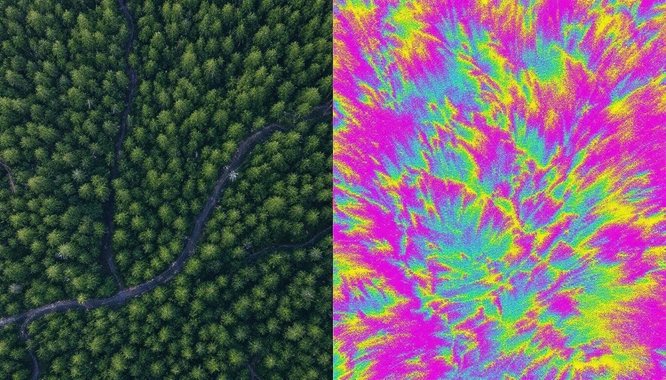
Drone LiDAR — canopy-penetrating, survey-grade
LiDAR fires laser pulses and times the return. Multiple returns per pulse — one pulse can record canopy top, midstory branch, and bare ground from a single shot — is the capability that separates LiDAR from every passive sensor.
Production specs for the platform we operate, the DJI Zenmuse L2: up to 240,000 single-return points per second (1.2M with multi-return), pitch/roll accuracy of 0.025° post-processed, RTK positioning at 1 cm + 1 ppm horizontal and 1.5 cm + 1 ppm vertical.
Production accuracy on bare earth: RMSEz of 2–5 cm against the ASPRS Positional Accuracy Standards Edition 2 (2024). Under canopy: 5–15 cm depending on how many pulses penetrate. Point density: 100–400 pts/m², which is 50–200× the QL2 baseline.
Higher cost than photogrammetry, but the only practical option when the question depends on what's under the canopy. For watershed work in vegetated terrain, infrastructure inspection through tree cover, or post-fire terrain analysis where vegetation patterns are mixed, LiDAR is the answer.
Traditional ground survey — millimeter accuracy, point-by-point
Total stations and RTK rovers measure individual points to millimeter accuracy and remain the legal standard for boundary surveys, monumentation, and high-precision setup work.
A modern total station measures distances to 1.5 mm + 2 ppm and angles to 1–5 arc-seconds, depending on instrument class. Tied to the NOAA NGS CORS network or local survey control, the resulting coordinates carry surveyor-of-record legal weight that no remote-sensing product does.
The limitation is throughput. A ground survey crew records hundreds of points per day; a single drone flight produces tens of millions. For boundary work, monumentation, deformation monitoring of specific structures, or as-built locations of utilities, traditional survey is the right tool. For terrain coverage at scale, it's prohibitively slow and expensive.
Decision matrix

A practical framework for choosing the right tool for the question:
Choose satellite DEM when
- Coverage area is hundreds or thousands of square miles.
- Vertical accuracy at 1–10 m scale is sufficient (regional studies, country-scale modeling).
- Cost has to be zero.
Choose 3DEP LiDAR (free) when
- Coverage exists and is recent in your area.
- QL2 accuracy (10 cm RMSEz, 2 pts/m²) is sufficient for your model.
- The watershed hasn't been materially modified since the collection.
Choose drone photogrammetry when
- The site is open and bare-earth — construction pads, stockpiles, agricultural fields without standing crops.
- Visual imagery from the same flight (orthomosaic, inspection photos) adds value.
- Budget is the primary driver and accuracy can tolerate 3–10 cm RMSE under controlled conditions.
Choose drone LiDAR when
- Canopy or low vegetation blocks photogrammetric ground capture.
- Point density above 2 pts/m² is needed (micro-topography, drainage features under brush).
- ASPRS Edition 2 accuracy class is contractually required with a formal NVA/VVA checkpoint report.
- Turnaround in days, not waiting for the next 3DEP cycle, is required.
Choose traditional ground survey when
- Legal boundary work or monumentation is required.
- Sub-centimeter precision at specific points is required (deformation monitoring, structural as-builts) — total station accuracy at 1.5 mm + 2 ppm.
- The deliverable needs to carry a licensed surveyor's seal.
The combinations that work in practice

Most real projects use more than one method. Common pairings:
- 3DEP for regional context + drone LiDAR for the project parcel.
- Drone LiDAR for terrain + traditional ground survey for boundary monumentation.
- Drone photogrammetry for visual context and orthomosaic + drone LiDAR for bare-earth DEM, often from the same crew on the same day.
The wrong choice is more expensive than the upfront cost suggests. A satellite DEM used for drainage design produces structures that don't drain. Photogrammetry used in vegetated terrain produces a DEM that's actually a vegetation-top model. Total-station coverage of a 50-acre parcel takes weeks and still has fewer ground points than a 90-minute LiDAR flight.
For cost ranges across these methods, see our 2026 cost guide.
Sources cited in this article
Every quantitative claim above links to a source. The full set:
- NASA Earthdata — Shuttle Radar Topography Mission (SRTM)
- USGS EROS — SRTM 1 Arc-Second Global
- Copernicus DEM — official data documentation
- Copernicus DEM Product Handbook (v5)
- USGS — 3D Elevation Program (3DEP)
- USGS — Topographic Data Quality Levels (QL2 etc.)
- USGS — FY25 3DEP Coverage Status
- ASPRS — Positional Accuracy Standards Edition 2 (2024)
- ASPRS — LAS/LAZ file format
- DJI — Zenmuse L2 official specifications
- NOAA NGS — CORS Network
- Caltech Survey Manual — Total Station Survey Specifications
- MDPI Drones (2025) — UAV photogrammetry accuracy with RTK and GCPs
- FAA — Part 107 Small UAS Rule